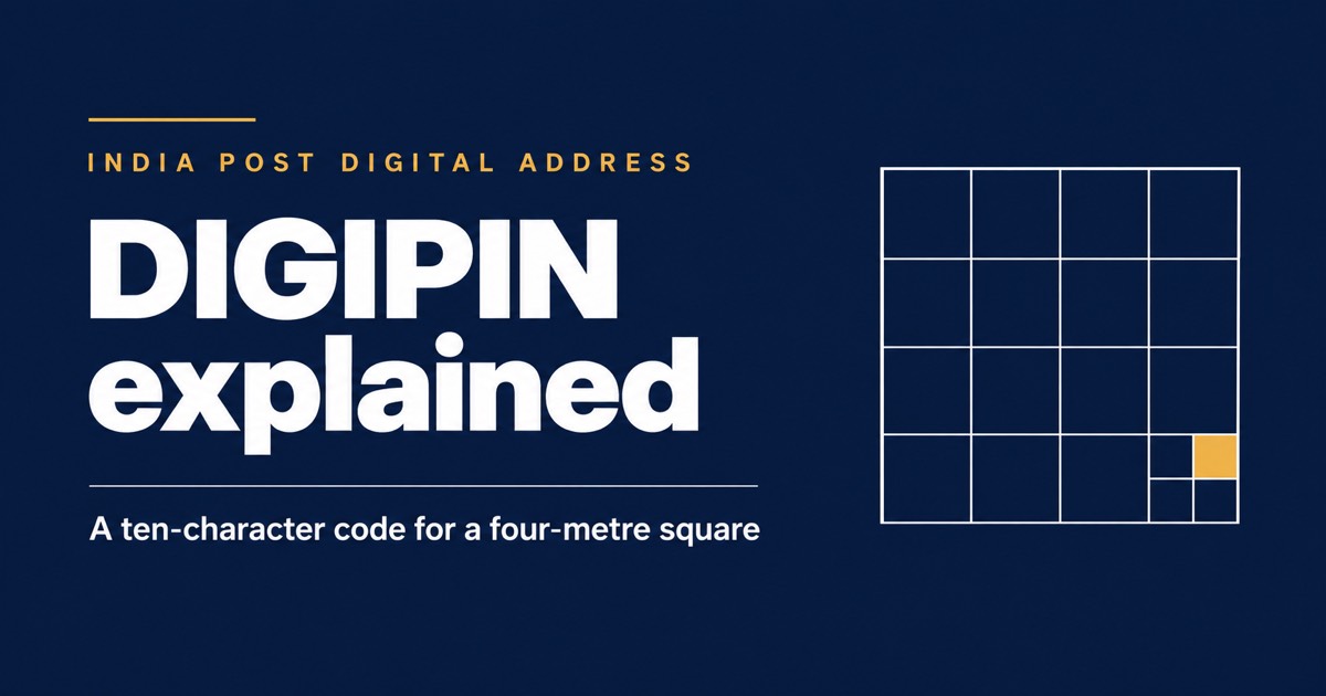
DIGIPIN is a geospatial addressing code from the Department of Posts: a 10-character alphanumeric code that identifies a patch of land roughly 4 metres by 4 metres, derived from latitude and longitude. It is a named item in the Inspector Posts LDCE Paper-I syllabus under "new and important postal topics", it appears in the PA/SA departmental syllabus under IT and modernisation, and it is ordinary current-affairs ground for general competitive exams too.
It is also new enough that the notes circulating about it disagree with each other, including on what the acronym stands for. That is worth handling head on.
What the code actually is
| Property | Detail |
|---|---|
| Length | 10 characters, alphanumeric |
| Precision | Approximately a 4 m × 4 m grid square |
| Derived from | Latitude and longitude — the code is computed from coordinates, not assigned by a clerk |
| Alphabet | 16 symbols — the digits 2 to 9 and the letters C, J, K, L, M, P, F and T |
| Structure | Hierarchical: each character narrows the grid, so a truncated code names a larger area |
| Coverage | The whole country, including rural and remote land with no conventional address |
| Built by | Department of Posts, with IIT Hyderabad and NRSC, ISRO |
Why the alphabet has 16 symbols and not 36
- Sixteen symbols means each character carries exactly four bits, so the code is a clean hierarchical subdivision — every character splits a cell into 16.
- The digits 0 and 1 are left out, and so are the letters that look like them — I, O, S, Z, B and the rest. What survives is a set a human can read off a wall and type back without ambiguity.
- That is the same reasoning behind other human-transcribable code alphabets, and it is the design point most worth understanding rather than memorising.
DIGIPIN and the PIN code are not the same thing
| PIN code | DIGIPIN | |
|---|---|---|
| What it identifies | A post office’s delivery area — a locality or a neighbourhood | A specific 4 m × 4 m location |
| Length and form | Six digits | Ten alphanumeric characters |
| How it is derived | Assigned administratively to a delivery area | Computed from latitude and longitude |
| In use since | 1972 | Introduced by the Department of Posts in the 2020s |
| Replaces the other? | Unaffected — it continues | No. It is an additional digital layer |
India Post is explicit on this: DIGIPIN complements traditional addresses and does not replace the postal address or the PIN code. An exam option saying DIGIPIN "replaces the PIN code" is wrong, and it is the most common wrong option offered.
The acronym — and why we are not going to be confident about it
- DIGIPIN is most widely expanded as Digital Postal Index Number, which reads as the digital successor to the Postal Index Number.
- The Inspector Posts LDCE syllabus letter, as reproduced publicly, expands it as "Digital Personal Identification Number" and asks for a "basic understanding" of it.
- India Post's own DIGIPIN page describes it as the foundation layer of a digital address infrastructure and leads with what the code does rather than with a spelled-out acronym.
- So: learn what it is, not what the letters stand for. Every question we have seen asks what DIGIPIN is — a geospatial code identifying a small grid square — and that answer is safe under any expansion.
We would rather tell you the sources disagree than pick one and present it as settled. If your circle’s own study material gives an expansion, use that one in the hall.
What it is for
- Delivery to addresses that do not exist on paper — rural habitations, new construction, land with no street name or number.
- Last-mile precision for e-commerce and logistics, where the cost is in the final few hundred metres.
- Government service delivery and emergency response, where "the third house behind the temple" is not a location a system can route to.
- A public, free, open code rather than a proprietary one — anyone can look up the DIGIPIN for a location and anyone can use it.
For the departmental exam, the statutory hook is worth knowing too. Section 5 of the Post Office Act, 2023 lets the Central Government prescribe standards for addressing, for <em>address identifiers</em>, and for the usage of postcodes — and it defines "postcode" widely enough to include "a series of digits, letters or digital code or a combination". That definition is the room in the statute that a ten-character alphanumeric code occupies.
Practice questions
The Postal Index Number (PIN) code system was introduced in India in which year?
- A. 1972
- B. 1947
- C. 1962
- D. 1984
Answer: 1972
The six-digit PIN code was introduced on 15 August 1972 to speed up sorting and eliminate confusion caused by similar place names. It post-dates Independence by 25 years, and Speed Post, launched in 1986, is a later development.
DIGIPIN, introduced by the Department of Posts, is best described as:
- A. a digital address code derived from the geographic coordinates of a location
- B. a personal identification number used to operate a savings account
- C. the internal employee number of a departmental official
- D. a code printed on postage stamps to prevent counterfeiting
Answer: a digital address code derived from the geographic coordinates of a location
DIGIPIN is a geo-coded digital addressing grid that converts latitude and longitude into a short alphanumeric code identifying a precise location. It is a property of a place, not of a person, an account or a stamp.
From the ProSyllabus IP LDCE question bank — 15 quizzes, 150 questions, each one passed independently by two auditors.
What is DIGIPIN?
A geospatial digital address code from the Department of Posts — a 10-character alphanumeric code derived from latitude and longitude that identifies a grid square of roughly 4 metres by 4 metres anywhere in India.
How many characters is a DIGIPIN?
Ten, alphanumeric, drawn from a 16-symbol alphabet: the digits 2 to 9 and the letters C, J, K, L, M, P, F and T. Ambiguous characters such as 0, 1, I, O and S are deliberately excluded so the code can be read aloud and typed back reliably.
Does DIGIPIN replace the PIN code?
No. India Post states that DIGIPIN complements existing addresses and postal addresses remain the same. A PIN code identifies a broad delivery area; a DIGIPIN identifies an approximately 4 m × 4 m location.
Who developed DIGIPIN?
The Department of Posts, in collaboration with IIT Hyderabad and the National Remote Sensing Centre, ISRO.
What does DIGIPIN stand for?
Sources differ. It is most commonly expanded as "Digital Postal Index Number", while the Inspector Posts LDCE syllabus letter as publicly reproduced expands it as "Digital Personal Identification Number". India Post’s own page leads with what the code does rather than an expansion. Exam questions ask what DIGIPIN is, which is a safer thing to know than which expansion a particular paper prefers.
Which section of the Post Office Act 2023 covers addresses and postcodes?
Section 5. It empowers the Central Government to prescribe standards for addressing on items, address identifiers and the usage of postcodes, and defines "postcode" to include a series of digits, letters or digital code or a combination of them.
The rest of the India Post series
- IP LDCE 2026 — new 3-paper pattern, full syllabus and exam dates
- IP LDCE Paper II — noting, drafting and the major-penalty charge sheet
- IP LDCE previous year question papers and answer keys
- India Post PA/SA LDCE (LGO) — syllabus, pattern, DEST and the merit rule
- GDS to MTS, Postman and Mail Guard — syllabus and pattern
- The Post Office Act, 2023 — summary and MCQs
- CCS (Conduct) Rules, 1964 — notes and MCQs
- CCS (CCA) Rules, 1965 — penalties, procedure and MCQs
- The POSH Act, 2013 — notes and MCQs
- India Post Payments Bank (IPPB) for departmental exams
Practice: IP LDCE quizzes · syllabus · previous papers · PA/SA/MTS