Lifelines of National Economy — Class 10 Social Science
Geography — Contemporary India-II · Chapter 7
CBSE Class 10 community
View all
 4
4- History
- Economics
- + 2 more
 12
12- Mathematics
- Science
- + 10 more
 2
2- First Flight
- Footprints without Feet
- 70+ formulas and theorems
- Board-paper chapter counts
- 24 traps corrected
- Equations and formulas
- Book tables as charts
- Traps corrected
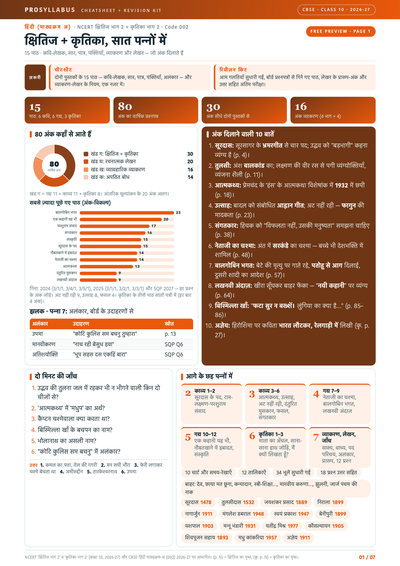
- 15 पाठ
- व्याकरण
- लेखन प्रारूप
- HTML & CSS examples
- Protocol tables
- Cyber ethics
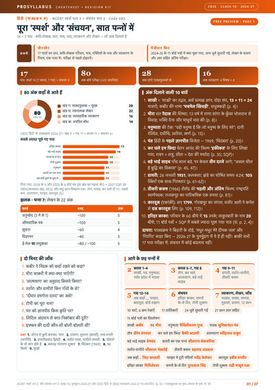
- 17 पाठ
- व्याकरण
- लेखन प्रारूप
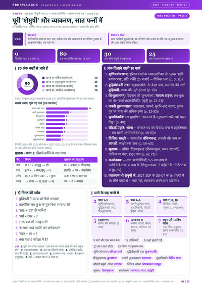
- 9 पाठ
- सन्धि-समास
- प्रत्यय
Chapter summary
Key ideas & terms
- National highways
- Major roads that link distant parts of the country and state capitals.
- Golden Quadrilateral
- A network of six-lane super highways connecting Delhi, Mumbai, Chennai and Kolkata.
- Pipelines
- Channels that transport crude oil, natural gas and water over long distances.
- Mass communication
- Means such as newspapers, radio and television that reach large audiences.
- International trade
- The exchange of goods and services between countries.
- Balance of trade
- The difference between the value of a country’s exports and imports.
- Waterways
- The cheapest means of transport for carrying heavy and bulky goods.
- Tourism
- Travel for leisure that has grown as a trade and source of employment.
Extra questions & answers
Why are transport and communication called the lifelines of the economy?
Because they move goods, people and information, link producers with markets and regions with one another, and are essential for trade and development.
What are the advantages of road transport?
Roads are cheaper to build, can reach remote and hilly areas, provide door-to-door service and act as feeders to railways, ports and airports.
What is the Golden Quadrilateral?
A network of six-lane super highways connecting Delhi, Mumbai, Chennai and Kolkata to speed up the movement of goods and people across the country.
What is meant by the balance of trade?
It is the difference between the value of a country’s exports and imports; a favourable balance means exports exceed imports.
Why are waterways important for India?
They are the cheapest means of transport, fuel-efficient and environment-friendly, and are well suited for carrying heavy and bulky goods over long distances.
Why are transport and communication called the lifelines of the economy?
Because they move goods, people and information, link producers with markets and regions with one another, and are essential for trade and development.
What is the Golden Quadrilateral?
A network of six-lane super highways connecting Delhi, Mumbai, Chennai and Kolkata to speed up the movement of goods and people.
Why are waterways important for India?
They are the cheapest, fuel-efficient and environment-friendly means of transport, well suited for carrying heavy and bulky goods over long distances.
What is meant by the balance of trade?
The difference between the value of a country’s exports and imports; a favourable balance means exports exceed imports.
How does tourism help the economy?
It promotes national integration, supports local handicrafts and cultural activities, earns foreign exchange and provides employment to many people.
Activity
Collect information of National Highway numbers (old and new) from the website morth.nic.in/national-highway-details. The historical Sher-Shah Suri Marg between Delhi and Amritsar is known by which National Highway ?
The historical Sher-Shah Suri Marg between Delhi and Amritsar was formerly designated as National Highway 1. This route is now largely included in National Highway 44.
Activity
Find out the current Railway zones and their headquarters. Also locate the headquarters of Railway zones on the map of India.
The railway zones and their headquarters are: Central Railway—Mumbai; Eastern Railway—Kolkata; East Central Railway—Hajipur; East Coast Railway—Bhubaneswar; Northern Railway—New Delhi; North Central Railway—Prayagraj; North Eastern Railway—Gorakhpur; Northeast Frontier Railway—Maligaon, Guwahati; North Western Railway—Jaipur; Southern Railway—Chennai; South Central Railway—Secunderabad; South Eastern Railway—Kolkata; South East Central Railway—Bilaspur; South Western Railway—Hubballi; Western Railway—Mumbai; West Central Railway—Jabalpur; and Metro Railway—Kolkata. These headquarters can be marked at their respective cities on a political map of India.
Activity
Railway line has been extended from Banihal to Baramula in the Kashmir Valley. Locate these two towns on the map of India.
Banihal and Baramula are located in the Union Territory of Jammu and Kashmir. Banihal lies in the southern part of the Kashmir region near the Pir Panjal Range, while Baramula lies northwest of Srinagar in the Jhelum Valley.
Activity
On the map of India show important tourist places of your State/UT and its connectivity with other parts of the country by railways/ roadways/airways.
A model response for Delhi may show the Red Fort, Qutub Minar, Humayun’s Tomb, India Gate, Lotus Temple and Akshardham Temple. Delhi is connected with the rest of India by major railway stations such as New Delhi and Hazrat Nizamuddin, by national highways including NH 44 and NH 48, and by Indira Gandhi International Airport.
Discuss in the class:
• What type of tourism may be developed in your state/UT and why?
Heritage, cultural, religious and educational tourism may be developed because the region has historic monuments, museums, places of worship, traditional markets and institutions of national importance.
• Which areas in your state/UT you find more attractive for development of tourism and why?
Historic districts, protected natural areas, riverfronts, craft centres and culturally important neighbourhoods are attractive for tourism because they combine heritage, local traditions, recreation and opportunities for small businesses.
• How tourism may be helpful for the economic development of a region adopting sustainable development approach?
Sustainable tourism creates employment in transport, hotels, guiding, handicrafts and food services. It can increase local income while protecting natural resources, conserving heritage, reducing waste and ensuring that local communities share the benefits.
Prepare a project on the heritage tourism in India.
Heritage tourism in India includes visits to monuments, forts, palaces, temples, historic cities, archaeological sites and traditional cultural centres. Important destinations include the Taj Mahal at Agra, the Red Fort and Qutub Minar in Delhi, the forts of Rajasthan, the caves of Ajanta and Ellora, Hampi, Khajuraho and the temples of Odisha and Tamil Nadu. Heritage tourism creates employment for guides, artisans, transport workers and hotel staff. It also encourages the conservation of monuments and traditional arts. Tourism must be managed sustainably by controlling pollution, limiting damage to sites, improving waste disposal and involving local communities in planning and benefits.
EXERCISES
1. Multiple choice questions.
(i) Which two of the following extreme locations are connected by the east-west corridor?
(a) Mumbai and Nagpur
(b) Silchar and Porbandar
(c) Mumbai and Kolkata
(d) Nagpur and Siligudi
(b) Silchar and Porbandar.
(ii) Which mode of transportation reduces trans-shipment losses and delays?
(a) Railways
(b) Roadways
(c) Pipeline
(d) Waterways
(c) Pipeline.
(iii) Which one of the following states is not connected with the H.V.J. pipeline?
(a) Madhya Pradesh
(b) Maharashtra
(c) Gujarat
(d) Uttar Pradesh
(b) Maharashtra.
(iv) Which one of the following ports is the deepest land-locked and well-protected port along the east coast?
(a) Chennai
(b) Paradwip
(c) V.O. Chidambaranar (Tuticorin)
(d) Vishakhapatnam
(d) Vishakhapatnam.
(v) Which one of the following is the most important modes of transportation in India?
(a) Pipeline
(b) Railways
(c) Roadways
(d) Airways
(b) Railways.
(vi) Which one of the following terms is used to describe trade between two or more countries?
(a) Internal trade
(b) International trade
(c) External trade
(d) Local trade
(b) International trade.
2. Answer the following questions in about 30 words.
(i) State any three merits of roadways.
Roads have lower construction costs than railways, can cross steep and uneven terrain, and provide door-to-door service. They are also economical for carrying small loads and passengers over short distances.
(ii) Where and why is rail transport the most convenient means of transportation?
Rail transport is most convenient in the northern plains because the region has level land, dense population, rich agricultural resources and many towns. Railways efficiently carry large numbers of passengers and bulky goods over long distances.
(iii) What is the significance of the border roads?
Border roads improve access to remote and difficult frontier areas. They are strategically important for national defence and also promote the economic development of northern and north-eastern border regions.
(iv) What is meant by trade? What is the difference between international and local trade?
Trade means the exchange of goods and services. Local trade takes place within a city, town or village, whereas international trade occurs between two or more countries through land, sea or air routes.
3. Answer the following questions in about 120 words.
(i) Why are the means of transportation and communication called the lifelines of a nation and its economy?
Transport and communication connect producers, markets and consumers across different regions. Roads, railways, waterways, airways and pipelines carry people, raw materials and finished goods from places of supply to places of demand. Communication systems allow information, ideas and instructions to move quickly without the physical movement of people. Together, they support agriculture, industry, trade, tourism and public services. They link remote areas with cities, encourage national integration and make emergency assistance more accessible. International transport and communication also connect India with global markets. Because nearly every economic activity depends on the efficient movement of goods, people and information, these networks are rightly called the lifelines of a nation and its economy.
(ii) Write a note on the changing nature of the international trade in the last fifteen years.
India’s international trade has expanded and become more varied. The country trades with major economic regions across the world through sea, air and land routes. Its exports include gems and jewellery, chemicals, agricultural and allied products, manufactured goods and information-technology services. India has emerged as an important software exporter and earns substantial foreign exchange from this sector. Its major imports include petroleum crude and products, electronic items, machinery, chemicals, base metals, gems and jewellery, and agricultural products. Thus, international trade is no longer limited mainly to traditional agricultural goods. Manufactured products, technology-based services and specialised commodities now occupy an important place. The changing composition of exports and imports reflects India’s growing integration with the world economy.
QUIZ DRIVE
1. Northern terminal of the North-south corridor.
Srinagar.
2. The headquarter of the southern railway zone.
Chennai.
3. The rail gauge with a track width of 1.676
,
textm.
Broad Gauge.
4. A Riverine Port.
Kolkata.
5. Busiest railway junction in Northern India.
Mughalsarai.
ACTIVITY
Start your search vertically, horizontally or diagonally and reach various destinations across the country!
The words visible in the grid include Sher Shah Suri Marg, Srinagar, Mumbai, Chennai, Broad Gauge, Mughalsarai and Kolkata.