India – Location — Class 11 Geography
India Physical Environment · Chapter 1
CBSE Class 11 community
View all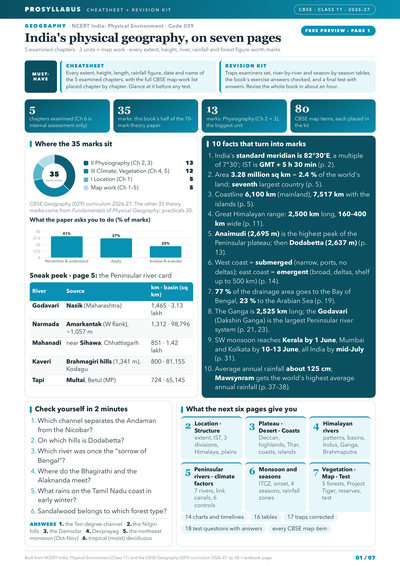
 3
3- Geography
 7
7- Mathematics
- Physics
- + 3 more
- Physics
- Chemistry
- + 3 more

 7
7- Accountancy
- Business Studies
- + 3 more
- Accountancy
 2
2- हिंदी
 2
2- हिंदी
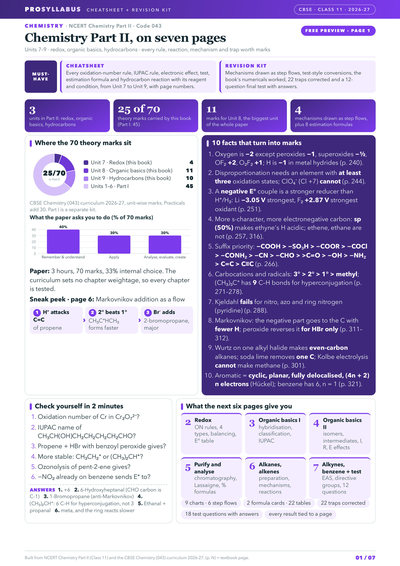 2
2- Chemistry
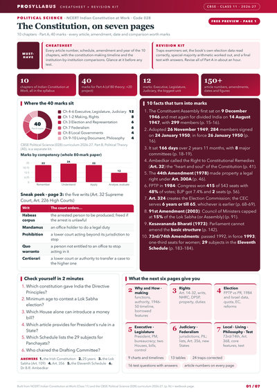
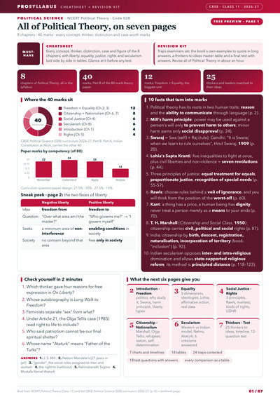 2
2- Political Science
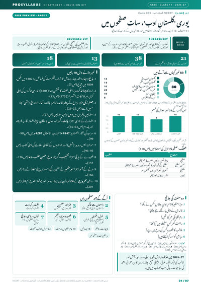
 2
2- اردو
- Urdu Elective
 2
2- हिंदुस्तानी संगीत
 2
2- Home Science
 2
2- Hornbill
- Snapshots
 2
2- Sociology
 2
2- Economics
- Physics
- Space weighted by unit marks
- Charts from the book's own data
- Traps corrected
- Space weighted by unit marks
- Charts from the book's own data
- Traps corrected
- Space weighted by unit marks
- Charts from the book's own data
- Traps corrected
- Space weighted by unit marks
- Charts from the book's own data
- Traps corrected
- Space weighted by unit marks
- Charts from the book's own data
- Traps corrected
- Space weighted by unit marks
- Charts from the book's own data
- Traps corrected
- Space weighted by unit marks
- Charts from the book's own data
- Traps corrected
- Space weighted by unit marks
- Charts from the book's own data
- Traps corrected
- Space weighted by unit marks
- Charts from the book's own data
- Traps corrected
- Space weighted by unit marks
- Charts from the book's own data
- Traps corrected
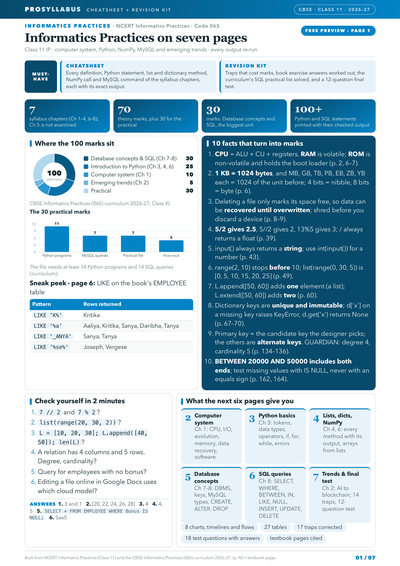
- Space weighted by unit marks
- Charts from the book's own data
- Traps corrected
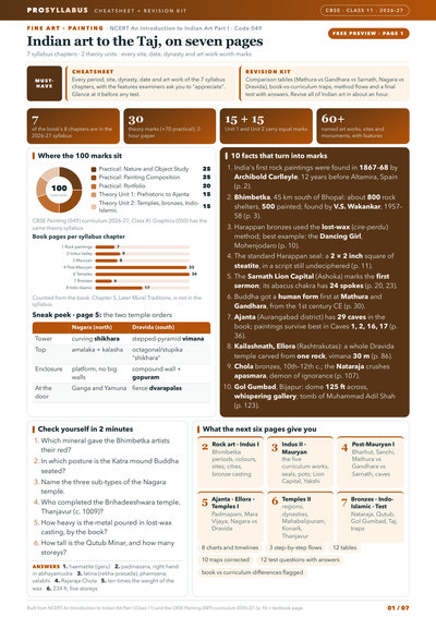
- Space weighted by unit marks
- Charts from the book's own data
- Traps corrected
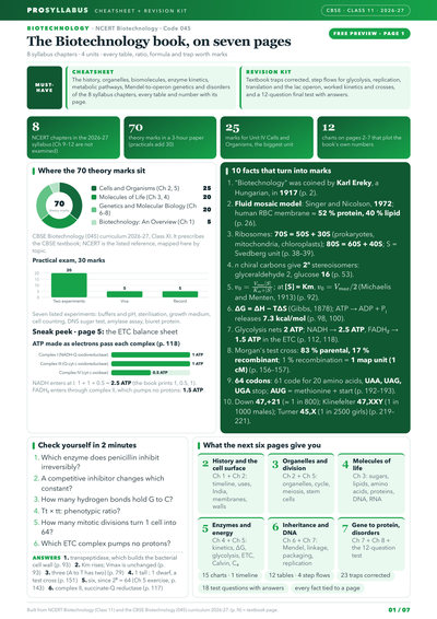
- Space weighted by unit marks
- Charts from the book's own data
- Traps corrected
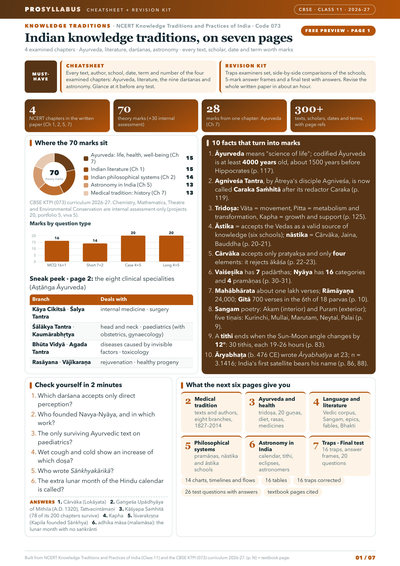
- Space weighted by unit marks
- Charts from the book's own data
- Traps corrected
- Space weighted by unit marks
- Charts from the book's own data
- Traps corrected
- Space weighted by unit marks
- Charts from the book's own data
- Traps corrected
- Space weighted by unit marks
- Charts from the book's own data
- Traps corrected
Chapter summary
Key ideas & terms
- Standard meridian of India
- 82°30′ E longitude, used to fix Indian Standard Time.
- Indian Standard Time (IST)
- the time ahead of Greenwich Mean Time by 5 hours and 30 minutes.
- Territorial limit
- India's sea boundary extending 12 nautical miles (about 21.9 km) from the coast.
- Indian subcontinent
- the great geographic entity formed by the Himalayas and ranges enclosing Pakistan, Nepal, Bhutan, Bangladesh and India.
- Nautical mile
- a unit of distance at sea, about 1.8 km, used to measure the territorial limit.
- Marusthali
- the vast sandy expanse (desert) reflecting India's great physical diversity.
Extra questions & answers
Between which places does the Indian mainland extend?
From Kashmir in the north to Kanniyakumari in the south, and from Arunachal Pradesh in the east to Gujarat in the west.
How far does India's territorial limit extend into the sea?
Up to 12 nautical miles (about 21.9 km) from the coast.
What is the standard meridian of India and why was it chosen?
82°30′ E, selected as a multiple of 7°30′ of longitude by general understanding among countries.
How far ahead of GMT is Indian Standard Time?
IST is ahead of Greenwich Mean Time by 5 hours and 30 minutes.
Why is the north-south distance greater than the east-west distance despite a similar 30-degree extent?
Because the distance between two longitudes decreases towards the poles, while the distance between two latitudes remains the same everywhere.
What is India's area and its share of the world's land surface?
About 3.28 million sq km, accounting for 2.4 per cent of the world's land surface area; it is the seventh largest country.
Which countries make up the Indian subcontinent?
Pakistan, Nepal, Bhutan, Bangladesh and India, bounded by the Himalayas and other ranges and the Indian Ocean.
What is the length of India's coastline?
About 6,100 km on the mainland and 7,517 km including the Andaman and Nicobar and Lakshadweep island groups.
Which are India's two island neighbours in the Indian Ocean?
Sri Lanka and Maldives; Sri Lanka is separated from India by the Gulf of Mannar and Palk Strait.
Why does India have a two-hour time difference between its eastern and western extremities?
Because of the nearly 30-degree variation in longitude, even though watches across the country show the same standard time.